Buying waterfront in East Hampton can feel simple at first glance. You see the water, the lot lines look generous, and the house may seem ready for your plans. But on many East Hampton waterfront properties, the real question is not just what you are buying, but what the rules actually allow you to do with it. This guide walks you through the main waterfront regulations buyers should understand before they bid, so you can evaluate a property with more clarity and fewer surprises. Let’s dive in.
Start With Jurisdiction
One of the first things you should confirm is whether the property is in the Incorporated Village of East Hampton or in the Town of East Hampton outside the Village. That distinction matters because the Village and Town use different code sections for flood rules, wetlands, coastal erosion, and zoning. A parcel that looks similar on the shoreline can be governed by a different set of standards depending on which jurisdiction it falls under.
The Town and Village also tie their flood regulations to different FEMA community numbers. The Town references Community Number 360794, while the Village references Community Number 360795, and both local laws point to FEMA map panels dated September 25, 2009. You can start your review using the Town’s GIS property search and the official FEMA Flood Map Service Center resources noted by the Town, but address-level confirmation is still essential.
Understand How Rules Stack
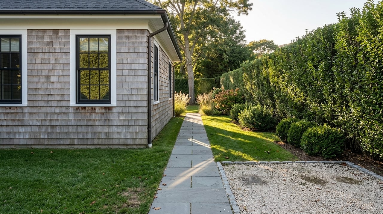
A waterfront lot may look large on paper and still offer a limited usable footprint. That is because East Hampton waterfront properties are often shaped by multiple code layers at once, including wetlands setbacks, shoreline setbacks, flood requirements, overlay districts, and easements.
The Town code makes this especially important by stating that when a structure, activity, or use is subject to more than one setback, it must comply with each applicable setback. In practice, what many buyers think of as the buildable envelope is really the overlap of all these restrictions. This is why waterfront due diligence is often more of a land-planning exercise than a simple zoning review.
Review Wetlands Rules Early
In the Town, wetlands are one of the biggest constraints on development and renovation. According to the Town code, no building or other structure may be erected, enlarged, or reconstructed on or within a wetland. The code also bars sewage disposal devices within 150 feet of the upland boundary of a wetland, generally bars other structures within 100 feet, and bars clearing or landscaping within 50 feet.
The Village uses a different framework. Under the Village zoning code, wetland setbacks are generally 150 feet for buildings, 200 feet for septic systems, and 125 feet for clearing, landscaping, and fertilizers, except for docks. These numbers can materially affect where you can expand a house, place a pool, redesign landscaping, or upgrade sanitary systems.
When Exceptions May Exist
Some relief may be possible, but it is narrow. In the Town, certain pervious driveways, subdivision access roads, and some genuinely water-dependent waterfront or marina structures may receive relief from wetland setbacks, often with a natural resources special permit and only to the minimum extent practical.
For buyers, the takeaway is straightforward: do not assume that a flat lawn or open area near the water is automatically usable for future improvements. The code may treat that space very differently from how it appears during a showing.
Know Shoreline Setbacks
Shoreline setbacks are another major factor because they vary by shoreline type and location. In the Town, properties along the Atlantic Ocean generally require a 100-foot setback from the bluff line or dune crest, or from the landward boundary of the beach where there is no bluff or dune crest. In eastern Montauk, that setback increases to 150 feet, and some South-side Old Montauk Highway parcels use a 125-foot setback measured from the base of the bluff.
For outer bays and harbors, Town setbacks can be 75, 100, or 150 feet depending on lot size. Inner harbors use 50 or 100 feet depending on lot size. These measurements can sharply reduce the area where additions, accessory structures, or site improvements are allowed.
In the Village, the zoning code uses different dune setback rules. Except for docks, ocean dune setbacks are 100 feet west of Old Beach Lane and 25 feet east of Old Beach Lane at the specified dune line. This is another reason jurisdiction is one of the first questions every waterfront buyer should answer.
Coastal Erosion Limits Matter
The Town’s Coastal Erosion Overlay District is broader than many buyers expect. It extends landward to 200 feet from the mean high-water line and seaward to 1,000 feet seaward of mean low water, or to the 15-foot mean low-water depth contour. The district is divided into four zones, with Zone 1 identified as the ocean coastal zone.
This matters because erosion-control work is heavily restricted. In Coastal Erosion Overlay Zones 1, 2, and 3, new erosion-control structures are prohibited, and in Zone 4 they require a natural resources special permit. The Town also restricts many repairs or alterations to groins and jetties except in narrow circumstances.
Flood Maps Are Only One Layer
Flood-zone research is essential, but it should never be your only review. Both the Town and Village flood laws state that their standards are minimum requirements and that when local, state, or federal provisions conflict, the more restrictive rule controls.
That means you should not assume the flood map alone defines what can be built or renovated. A property may appear manageable from a flood standpoint and still face tighter constraints under wetlands, shoreline, harbor protection, or easement rules. This is one reason early document review can save time and money.
Check Easements and Overlay Districts
Recorded easements can reduce your usable footprint in ways that are easy to miss. The Town subdivision code emphasizes preserving public views through existing scenic, agricultural, or conservation easements and purchase-of-development-rights agreements. The zoning code also requires buildings to stay at least 10 feet from the boundary of any recorded scenic or conservation easement where construction is barred by that easement.
The Harbor Protection Overlay District can add another layer of regulation in waterfront neighborhoods. Its purpose is to maintain or improve surface-water quality, and it adds controls tied to stormwater, septic, clearing, and groundwater depth. For example, the district requires a survey with a building permit application showing the area to be cleared and groundwater depth for septic, pool, or catchment-basin projects, and it imposes a 200-foot septic setback from certain listed surface waters and contiguous wetlands.
Renovation Rights Are Not Unlimited
Many waterfront buyers assume an older house can always be expanded or rebuilt in place. In East Hampton, that is not always the case. The Town code provides some flexibility for reconstruction of a nonconforming building or structure under the wetland setback rule, but relief from bluff-line or dune-crest setbacks is much narrower and generally applies when reconstruction follows accidental damage or destruction.
This distinction matters if you are buying for renovation potential. An existing house may have legal nonconforming status, but that does not automatically mean you can expand it, relocate it, or modernize it without additional review. Permit history and legal status deserve close attention before contract, not after.
Docks and Shoreline Work Need Careful Review
On East Hampton waterfront, docks, piers, bulkheads, jetties, groins, and dredging are not simple homeowner upgrades. Town policy states that these projects may be subject to coordinated review by the New York State DEC, Suffolk County Department of Public Works, the U.S. Army Corps of Engineers, the Zoning Board of Appeals, the Town Trustees, and the Natural Resources Director.
The Town’s special-permit code also tightly limits docks on residential property, especially where there is no preexisting fixed dock. If a property is being considered partly for boating access or waterfront improvements, that issue should be reviewed at the start of your diligence period.
Septic Can Shape the Deal
Sanitary systems are often a deciding factor on waterfront purchases. The Town code states that sanitary work must comply with Suffolk County Department of Health Services standards, applicable wetland setbacks, and all other local, county, and state requirements. It also says no building permit or other authorization is issued until the Building Department confirms compliance.
In practical terms, septic capacity and placement can affect your ability to renovate, add bedrooms, or make site improvements. On waterfront property, where setback rules may already narrow the available area, this becomes a critical part of the planning picture.
Use a Waterfront Buyer Checklist
Before you make an offer, it helps to review the property through a structured lens. The Town’s GIS tools and property resources can help you begin that process.
A practical pre-bid checklist should include:
- Jurisdiction: Town or Village
- Current FEMA flood-zone confirmation
- Wetland and coastal setback mapping
- Recorded scenic, agricultural, or conservation easements
- Overlay districts, including harbor and coastal erosion rules
- Permit history for the house and site improvements
- Septic location, capacity, and compliance pathway
- Whether the existing home is legally nonconforming
Why This Matters Before You Bid
The core issue with East Hampton waterfront is that restrictions often overlap. Wetlands, dunes, bluffs, flood maps, easements, septic rules, and overlay districts can all narrow what appears to be a generous site. If you wait until after contract to understand those layers, you may find that the property does not support your intended use.
A disciplined review upfront helps you compare properties more accurately and protect your downside. It can also help you recognize opportunity, especially when a parcel’s value depends on understanding its regulatory path rather than just its view line or lot size.
If you are evaluating a waterfront purchase in East Hampton and want a clear, discreet review of the planning issues that may affect value, renovation potential, or long-term use, Marc Heskell can help you approach the process with technical rigor and local perspective.
FAQs
What waterfront rules should buyers check first in East Hampton?
- Start with jurisdiction, then confirm flood maps, wetlands setbacks, shoreline setbacks, overlay districts, easements, permit history, septic constraints, and whether the existing home is legally nonconforming.
Why does East Hampton jurisdiction matter for waterfront property?
- The Incorporated Village of East Hampton and the Town of East Hampton use different code sections and setback frameworks for flood protection, wetlands, coastal erosion, and zoning.
How do wetlands affect East Hampton waterfront development?
- In the Town, wetlands can limit or prohibit structures, septic placement, clearing, and landscaping near the wetland boundary, while the Village applies its own setback distances for buildings, septic systems, and site work.
Can a large waterfront lot in East Hampton still have a small buildable area?
- Yes. Multiple restrictions can apply at once, and the usable area is often the overlap of wetland, shoreline, flood, easement, and overlay-district limits.
Are docks easy to add on East Hampton waterfront property?
- No. Docks and other shoreline structures are typically permit-driven and may require review by several local, county, state, and federal agencies.
Do flood maps alone tell you what you can build on East Hampton waterfront?
- No. Town and Village flood laws say the more restrictive rule controls, so wetlands, zoning, overlay districts, and other regulations may further limit what is allowed.